Floodway & Irrigation Canal Crossings
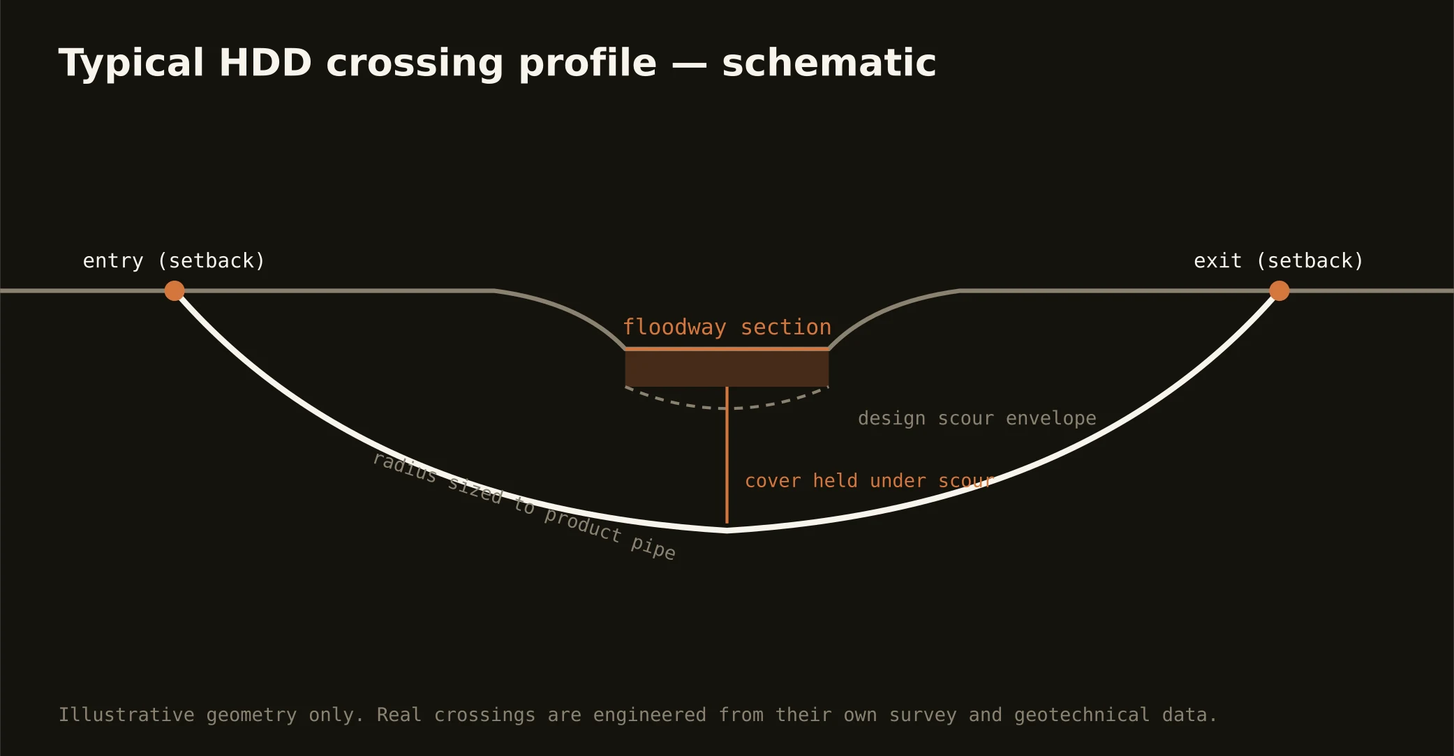
Two engineered water systems define Valley crossings. The first is the floodway system: the IBWC's interior channels — the great relief routes sized to carry a hurricane-swollen Rio Grande's overflow across the delta to the Gulf — leveed, federally administered, and crossed only on the boundary commission's license, with engineering submittals that treat levee and channel integrity as absolute. A floodway crossing is a federal-review project first and a bore second, and our quotes schedule it that way from day one.
The second is the irrigation grid: the districts' canals, laterals, and buried pipelines that water the delta's farms and now thread its subdivisions. District crossings run on each district's easement rules and engineering criteria — and on its calendar, because the delivery season governs when canal-adjacent work sensibly happens, and the winter dry-ups are the trade's friend. The Valley has many districts, each its own authority; our scoping names yours specifically.
Technically, both worlds drill in the same honest delta clay, with the fluid program tuned for reactive soils and run containment-tight — an inadvertent return into a floodway or a delivery canal is an incident with a federal or district letterhead. Setback entry and exit clear of levees and easements, cover to the administering authority's criteria, monitored returns, and the response plan written before the pilot turns.