How Directional Drilling Works in Rio Grande Valley Ground
Delta clays with opinions about the weather
The Valley's ground is the Rio Grande's old delta: deep clays and silty loams, no rock at utility depth anywhere, and an expansive streak that makes the clays the metro's real personality. In drought they shrink and crack; after the rains they swell; and everything shallow — pavements, slabs, rigid pipes — rides that cycle a little each year. For drilling, the clays are honest, steerable ground that asks for tuned fluid chemistry (reactive soils gum untuned mud), depths that respect the seasonal active zone, and product guidance that favors fused systems over anything shrink-swell can pry apart.
Two water grids, two permit worlds
The Valley's engineered water runs on two systems with two masters. The irrigation districts own the delivery grid — canals, laterals, and buried pipelines with easements threading city and farm alike, criteria for crossings, and a watering calendar that shapes schedules. The IBWC administers the floodway system — the leveed relief channels that protect the whole delta — where crossings run on federal license with engineering review that treats protection integrity as absolute. Valley permit fluency is running both worlds alongside the city, county, and TxDOT machinery as one workflow; it's the local trade skill, and it's non-optional.
The sequence, delta edition
The bones are standard — locates plus private designating, potholes on every claimed utility and the district lines the paint misses, pilot on profile, ream to about one and a half times the product, pull, restore. Valley bends: fluid tuned for reactive clay, subtropical heat protocols in the long summer, hurricane-season staging awareness, district calendars consulted before scheduling canal-adjacent work, and restoration that respects everything from resaca-side lawns to citrus rows.
Who owns what you're crossing
The metro's cities — McAllen, Edinburg, Mission, Pharr, and their grown-together neighbors — each run their own ROW process; Hidalgo County covers the roads between; TxDOT permits the state system and the expressway grid. The irrigation districts govern their canals and easements on their own criteria and calendars; the IBWC licenses anything touching the floodway system; railroads and the bridge districts add their corridors in the trade belts. The quote names every owner on your alignment — in this metro, the second one is often buried.
Straight answers
Will you hit rock on my bore?
No — the delta didn't stock any at utility depth, and that's the Valley's genuine drilling gift. The honest cautions are clay-flavored instead: reactive soils that demand tuned fluid, an active zone that moves shallow structures seasonally, and a district grid that adds hidden authorities more often than hidden boulders. The quote prices the real conditions.
How deep do bores run under Valley streets?
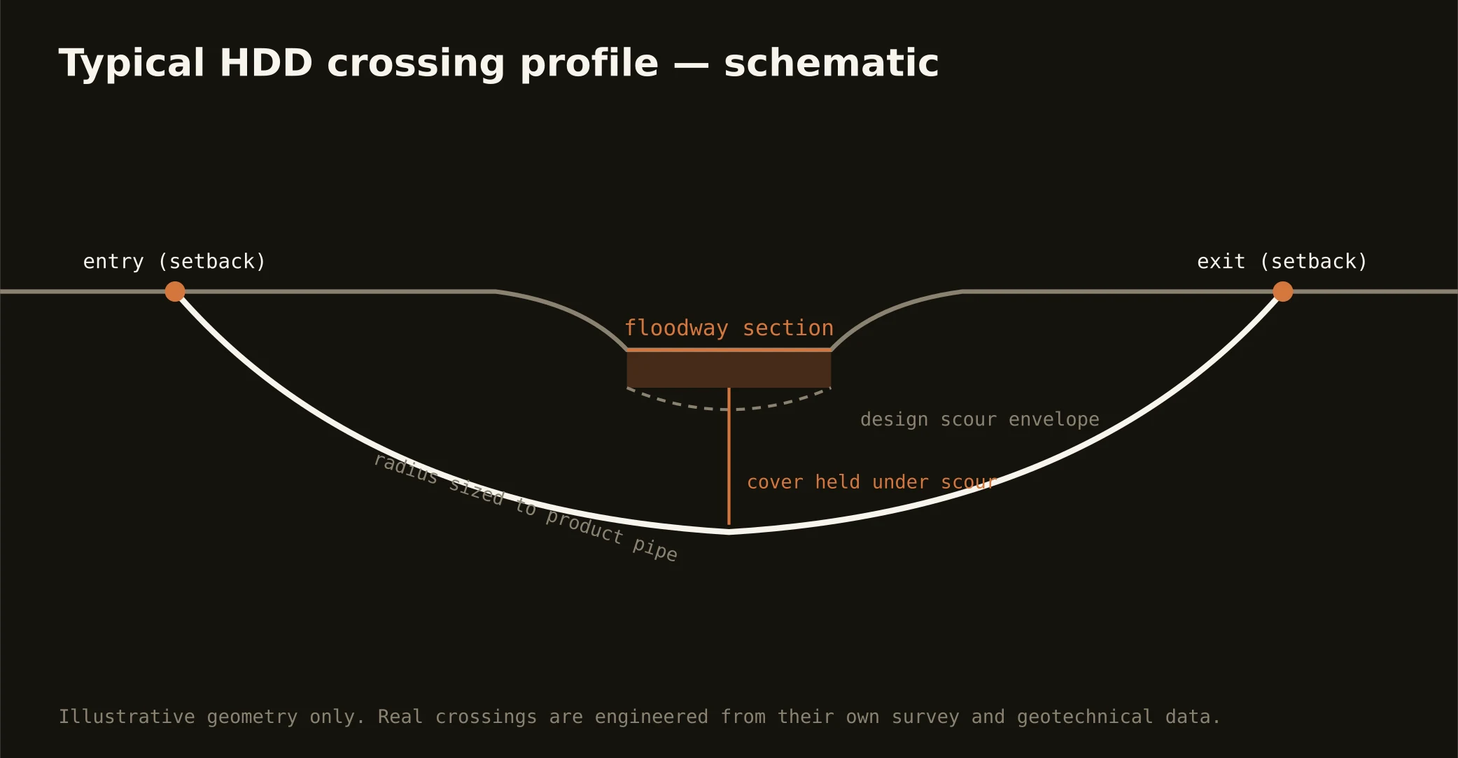
Cover follows the owning authority's standard and sits below everything potholed on the alignment — with a Valley note: depths get chosen with the clays' seasonal active zone in mind, because ground that swells and shrinks is kindest to product placed below its moods. Floodway and canal crossings run to the administering authority's criteria. The bore plan states your number.
Do the irrigation districts really matter on city streets?
Constantly — the grid predates the subdivisions and runs beneath them, easements intact, and a residential alignment can cross district infrastructure the surface never hints at. Checking the district map at scoping is standard practice here, and it's the difference between a scheduled crossing and a stopped one.
Ready to put a number on a real crossing? Send the scope — a person prices it.